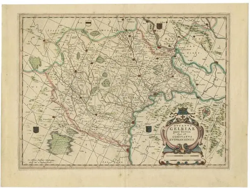
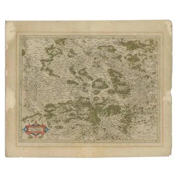
Antique map titled 'Ducatus Gelriae'. Map of the region around Roermond, the Netherlands. This map includes the cities of Gennep, Goch, Venlo, Roermond, Maaseik, Weert, Wachtendonk and others. This map originates from 'Atlas Novus sive Theatrum Orbis Terrarum' by J. Janssonius. Artists and Engravers: Jan Janssonius (also known as Johann or Jan Jansson or Janszoon) (1588-1664) was a renowned geographer and publisher of the seventeenth century, when the Dutch dominated map publishing in Europe. Condition: Good, original/contemporary hand coloring. General age-related toning. Minor wear, repair on folding line. Latin text on verso, please study image carefully. Date: c.1650 Overall size: 59 x 49.5 cm. Image size: 52 x 38.5 cm. This piece is attributed to the mentioned designer/maker. It has no attribution mark and no official proof of authenticity, however it is well documented in design history. I take full responsibility for any authenticity issues arising from misattribution
Similar products