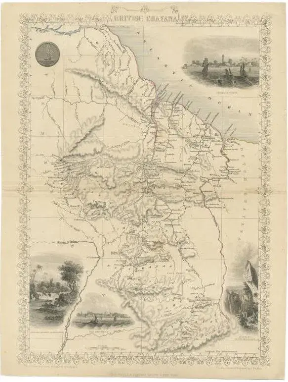
The antique print is a page from an 1860 A Fullarton atlas, providing a comprehensive view of the British possessions on the northwest coast of South America during that time. It features a detailed map of the Island of Trinidad, as well as maps of British Guiana with routes by Sir Robert Schomburgk. The print includes ornate vignettes that showcase both the region's rich biodiversity with illustrations of local birds such as the Scarlet Ibis and Hummingbirds of Trinidad, and the giant water lily known as Victoria Regia. In addition to the natural history, the print also portrays cultural elements through depictions of the indigenous populations, specifically the Macusi and Caribisi Indians. It illustrates various aspects of their life, from the preparation of cassava and coffee to their dwellings, costumes, and idols. An image of a sugar mill points to the colonial economic activities prevalent at the time. This print is not only a map but a historical document, rich with ethnographic and botanical illustrations, reflecting the colonial perspective and interests of the British Empire in 1860. The quality and detail suggest it was a significant educational tool and a piece of art, likely intended for a well-informed audience with an interest in the geography and cultures of British colonies.
Similar products