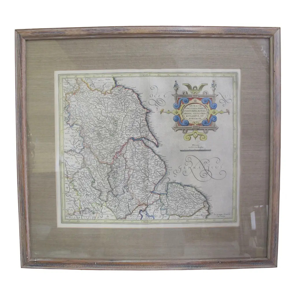
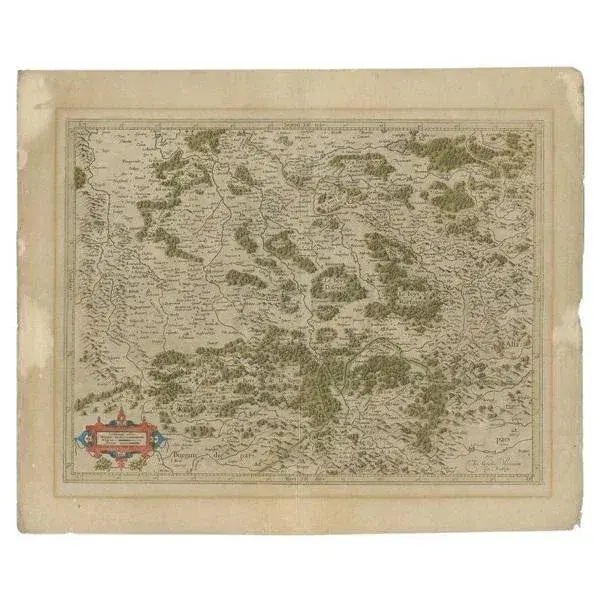
A beautiful early seventeenth century map of the northern counties of England, from a Latin edition of the Mercator-Hondius Atlas Major, essentially a reprint of Mercator's earlier Atlas. The map shows Cumbria, Northumberland, Westmorland, Durham, and adjacent parts of Lancashire, Yorkshire, and Scotland.,
Ratings
5
Similar products