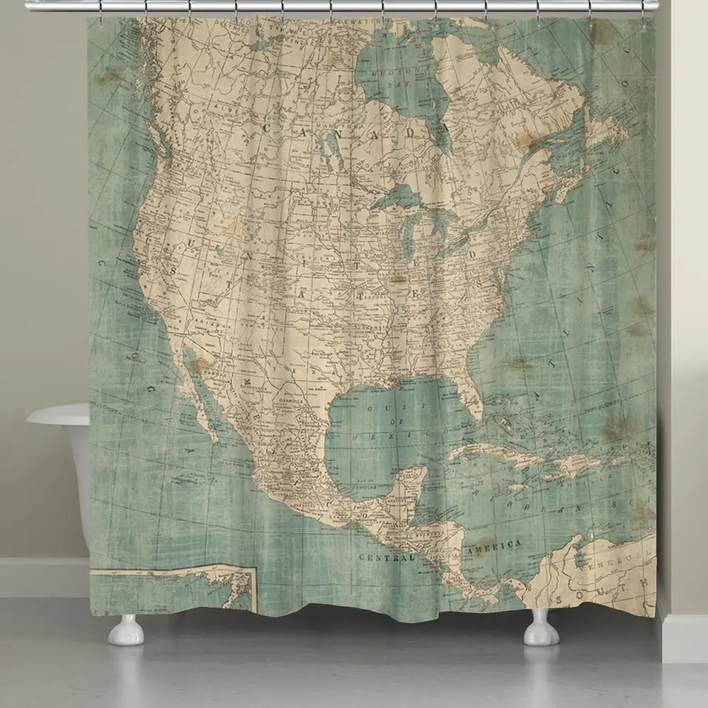
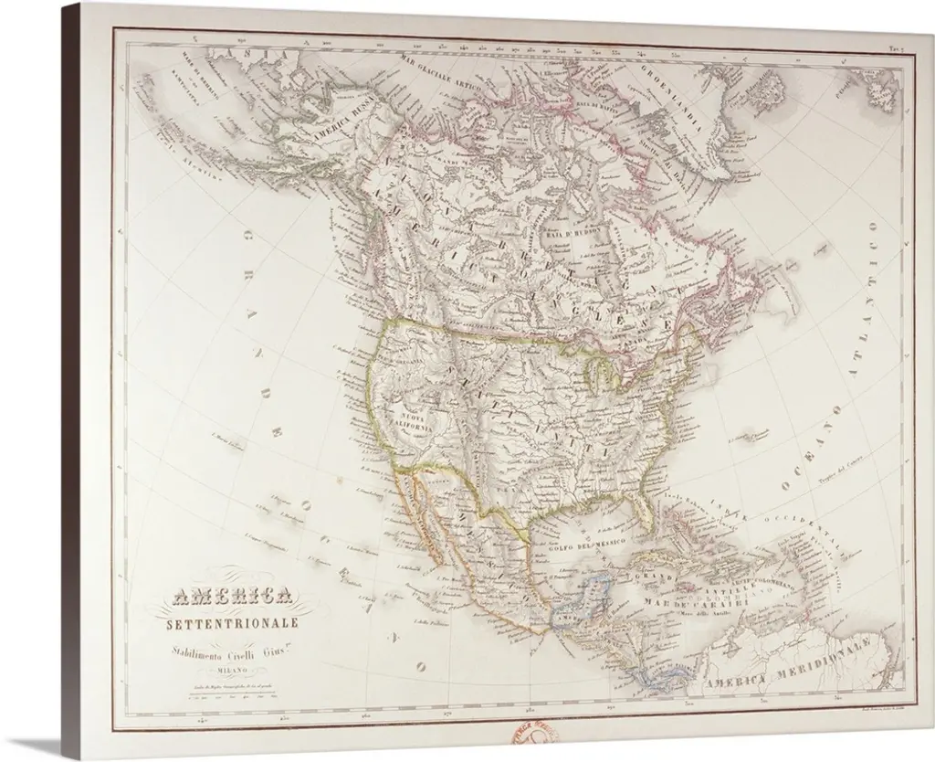
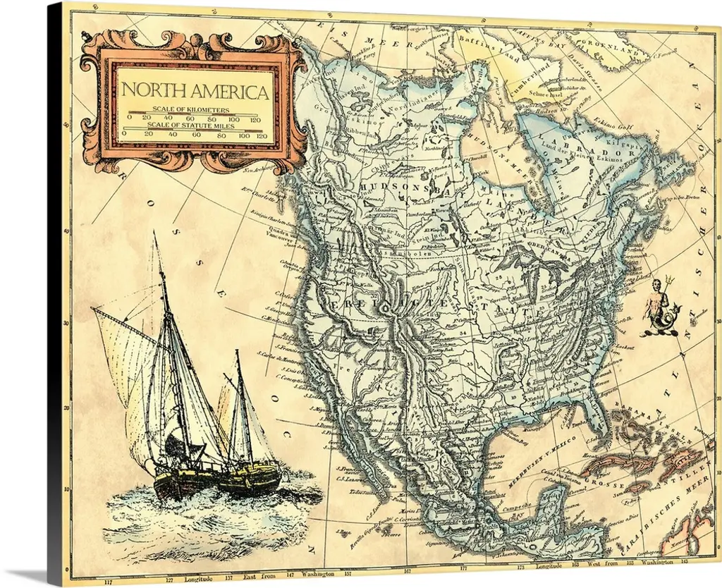
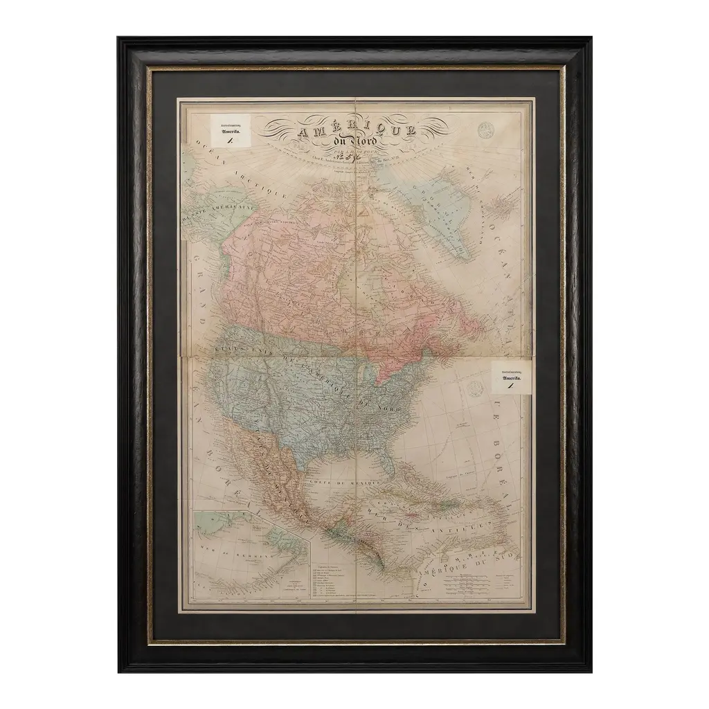
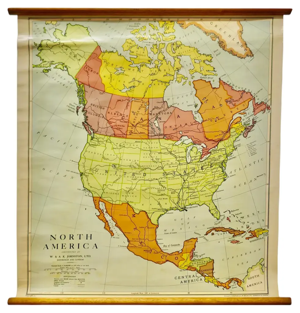
North america, 1903 - a colorful historical map with detailed borders this attractive map of north america was engraved, printed, and published by w. & a.k. Johnston in 1903. A wonderful example of early 20th-century cartography, it captures the complex geography and political divisions of canada, the united states, mexico, central america, the caribbean, and the arctic regions in a detailed and colorful presentation. The map is filled with fascinating details, including major cities, rivers, mountain ranges, and railway lines that crisscrossed the continent at the time. Political boundaries are clearly marked in different colors, distinguishing the various countries and regions. The northern reaches of canada and alaska are depicted with impressive accuracy for the era, as are the caribbean islands and central american states. The bright yet subtle color palette—red for borders, blue for water, and a gentle green for mountain shading—makes this map visually appealing and easy to read. The map also includes detailed insets and a clear legend showing the scale and distances, making it a valuable reference for historians and collectors interested in the evolution of north america’s borders. Condition report: this map is in very good condition, with some minor foxing and small creases typical of antique maps. The paper is strong, and the colors remain clear and vibrant. Framing tips: this historical map would look splendid in a black or dark wood frame, perhaps with a white or cream mat to highlight the soft colors. A museum-quality glass can protect the map while preserving the crisp details and ensuring a long-lasting display in an office, library, or living room.
Similar products