Great Britain, N. France: A Large 17th C. Hand-Colored Map By Sanson And Jaillot, 1693
Chairish$2,375
Great Britain, N. France: A Large 17th C. Hand-Colored Map By Sanson And Jaillot, 1693
Chairish$2,375
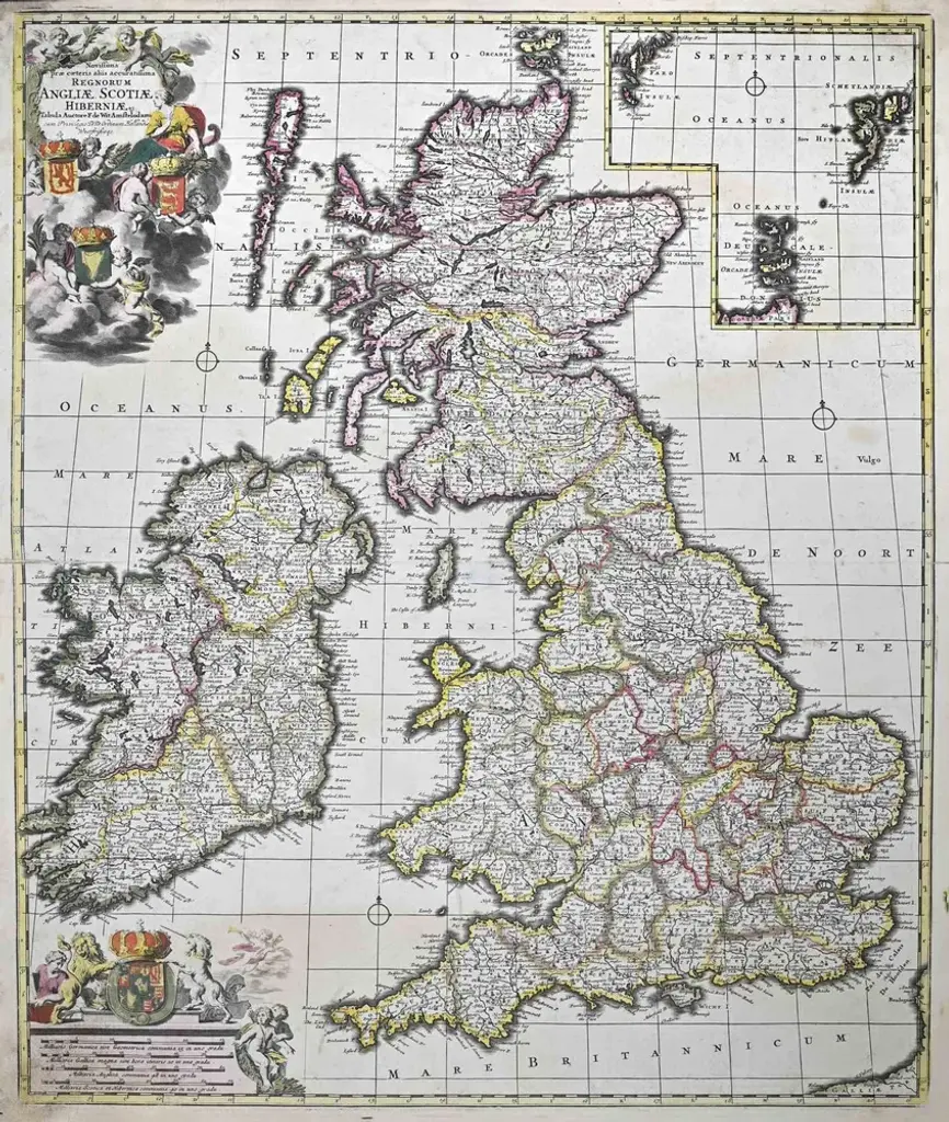
This large hand-colored 17th century copperplate engraved map entitled "Le Royaume D Angleterre, distingué en ses Provinces. Par le Sr. Sanson. Geographe du Roy. Presenté A Monseigneur Le Dauphin" was originally created by Nicholas Sanson d'Abbeville and published by Hubert Jaillot in "Atlas Nouveau" in Paris in 1693. It depicts England, portions of Scotland, Wales and Ireland, the English Channel and portions of Normandy in northern France. It includes London, Windsor, Oxford, Canterbury, Dover, Calais, Rouen and many other landmarks. There is an elaborate ornate cartouche in the right upper corner that includes the royal coat-of-arms surrounded by flags and spears, female angels, putti blowing horns, a horse, the ocean and a globe. The map consists of two sheets joined as one along a horizontal joint. The map has original hand-coloring and it is printed on antique hand-made laid, chain-linked paper with wide margins. The sheet measures 38" high and 24.88" wide. There is mild offset resulting from contact with the color on the opposite sides of the map over hundreds of years in the atlas. There is one spot over the English Channel, but the map is otherwise in very good to excellent condition.
Similar products