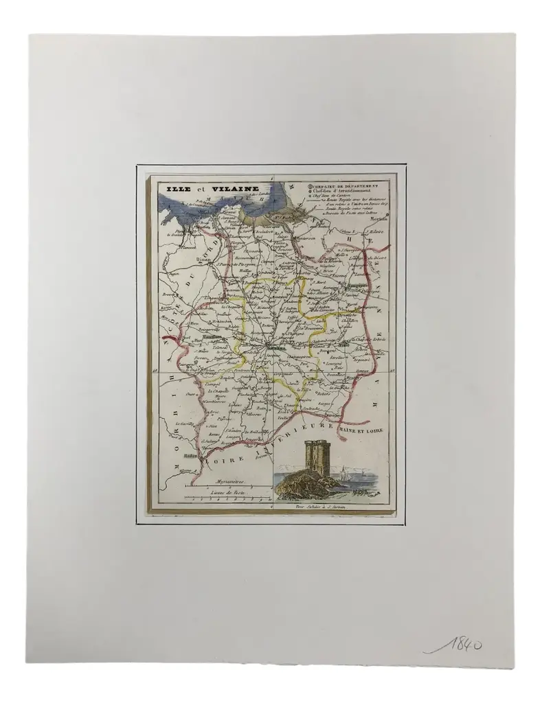
This large hand-colored map entitled "Le Duché et Gouvernement de Normandie divisée en Haute et Basse Normandie en divers Pays; et par evêchez, avec le Gouvernement General du Havre de Grace" was originally created by Nicholas Sanson d'Abbeville and published by Hubert Jaillot in "Atlas Nouveau" in Paris in 1695. It depicts the Normandy region of France. It includes Bayeaux, Mont St. Michel, Le Havre, Cherbourg and many other landmarks. The map consists of two sheets joined as one along a vertical joint. The map has original hand-coloring and it is printed on antique hand-made laid, chain-linked paper with wide margins. The sheet measures 24.88" high and 38" wide. There is a professionally repaired tear on the verso in the lower margin to the right of the central vertical joint and reinforcement on the verso along oxidized colored border lines in the lower left. There are a few small spots and some discoloration at the periphery of the margins, with mild irregularity of the edges of the left and right margins. There is mild offset resulting from contact with the color on the opposite sides of the map over hundreds of years in the atlas. The map is otherwise in very good condition.
Similar products