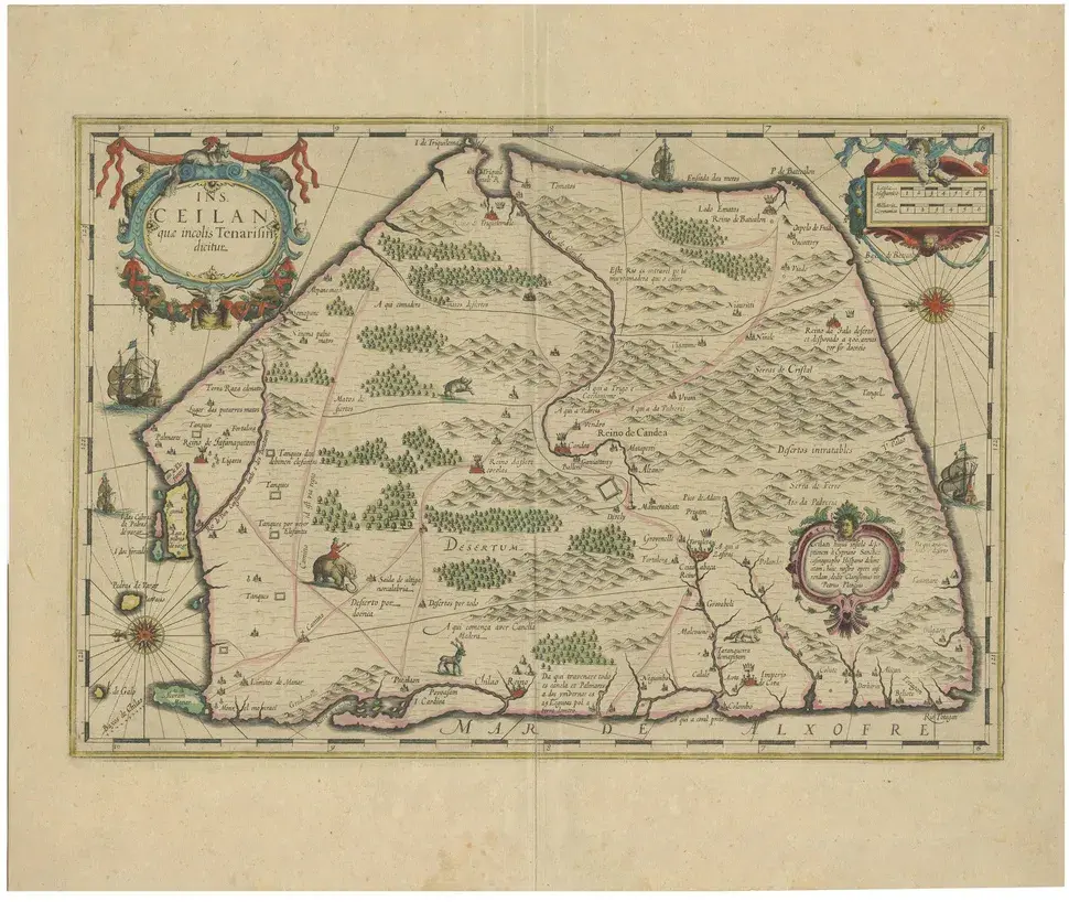
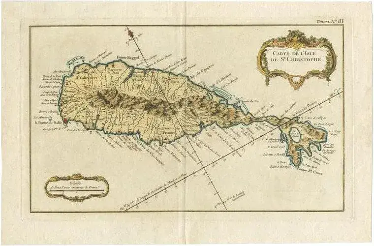
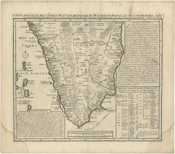
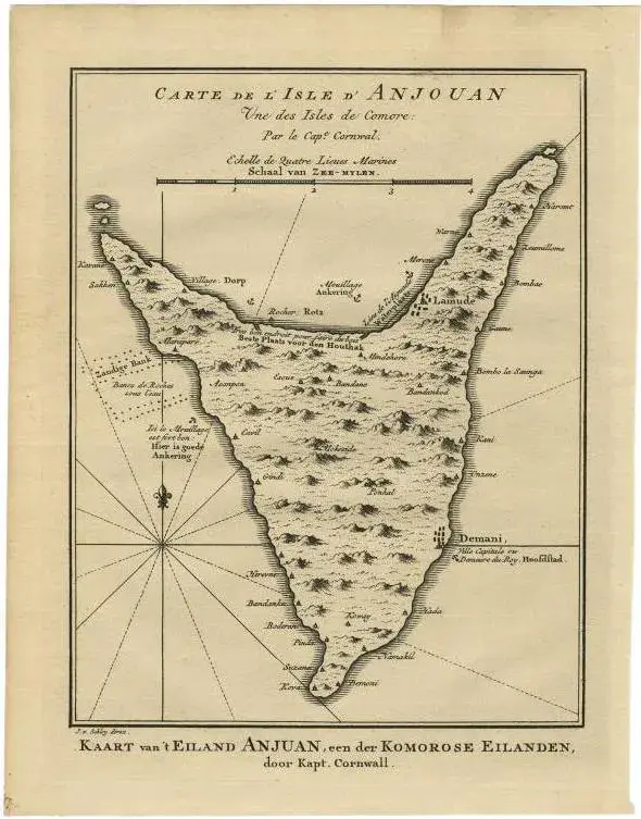
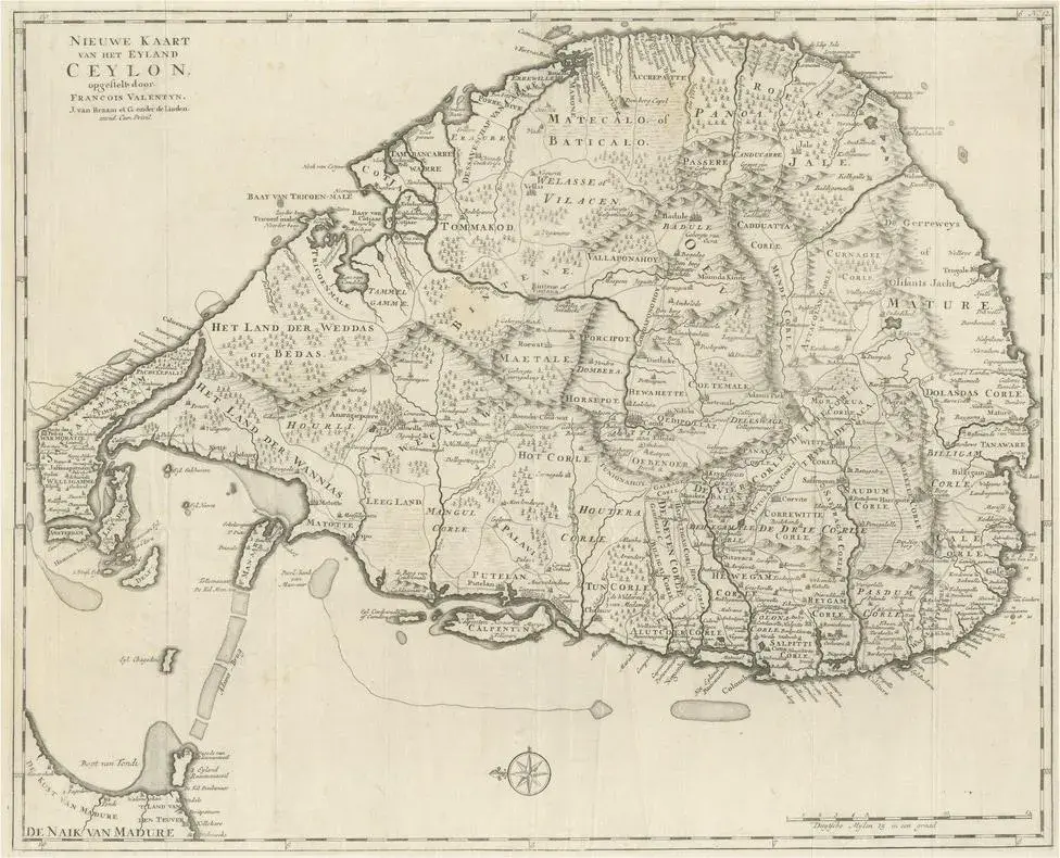
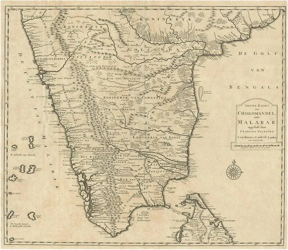
: Antique map Ceylon titled 'Nieuwe Kaart van t Eland Ceilon'. Old map of present-day Sri Lanka with north oriented to the left. The legendary Adams Brug (Adam's Bridge or Rama's Bridge) is clearly shown linking Mannar island off Sri Lanka with Rameswaram island of the coast of India. This map originates from 'Hedendaagsche Historie, of tegenwoordige staat van alle volkeren (\.)', published by Isaak Tirion, Amsterdam, 1731. This is in fact an amended Dutch edition of: 'Modern History: or the Present State of all Nations.', published by Thomas Salmon since 1725. German, Italian and Dutch editions were published as well. This monumental Dutch edition, translated by M. van Gogh and published by Isaak Tirion, was much amended and enlarged into a 39 volume series. This plate originates from the third volume from this series which deals with: Pegu, Ava, Arrakan, Acham, India / mogul emprire, Malabar, Coromandel and Ceylon / Sri Lanka. This plate is from the section on India.
Similar products