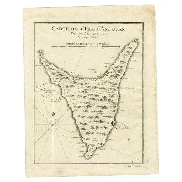
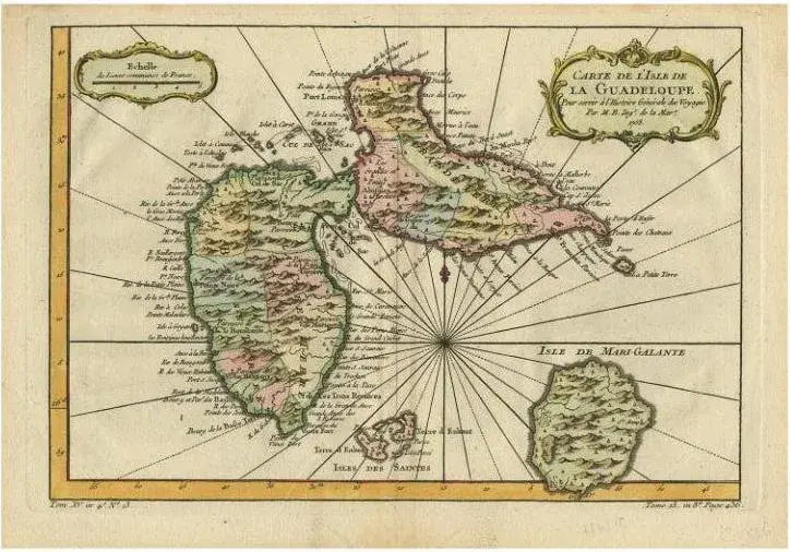
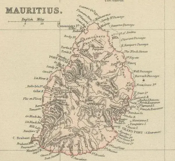
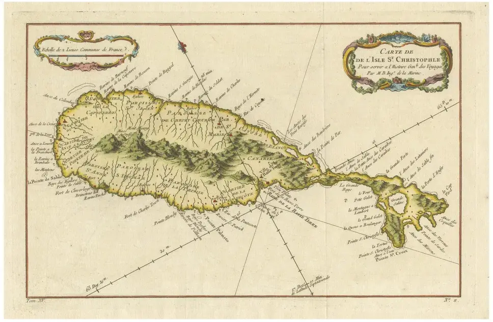
Antique map titled ‘Carte de L’Isle D’Anjouan - Kaart van 't Eiland Anjouan’. Original antique map of Anjouan, also known as Ndzuwani or Nzwani, or, historically, as Johanna, an autonomous island in the Indian Ocean that forms part of the Union of the Comoros. This map originates from 'Historische beschryving der Reizen (\.)' published by P. de Hondt, 1749. The Comoros, officially the Union of the Comoros, is an island country in the Indian Ocean, at the northern end of the Mozambique Channel off the eastern coast of Africa. It shares maritime borders with Madagascar and Mayotte to the southeast, Tanzania to the northwest, Mozambique to the west, and the Seychelles to the northeast. Its capital and largest city is Moroni. The official state religion is Sunni Islam. As a member of the Arab League, it is the only country in the Arab world which is entirely in the Southern Hemisphere. The country has three official languages: Comorian, French and Arabic. It has the worst income inequality of any nation, with a Gini coefficient over 60%, and ranks in the worst quartile on the Human Development Index. As of 2008, about half the population lived below the international poverty line of US$1.25 a day. Artists and Engravers: Jakob van der Schley (1715-1779) was a Dutch draughtsman and engraver, who studied under Bernard Picart. Condition: Good, general age-related toning. Original plate mark visible. Please study image carefully. Date: 1749 Overall size: 19.4 x 25 cm Image size: 16 x 21.8 cm
Similar products