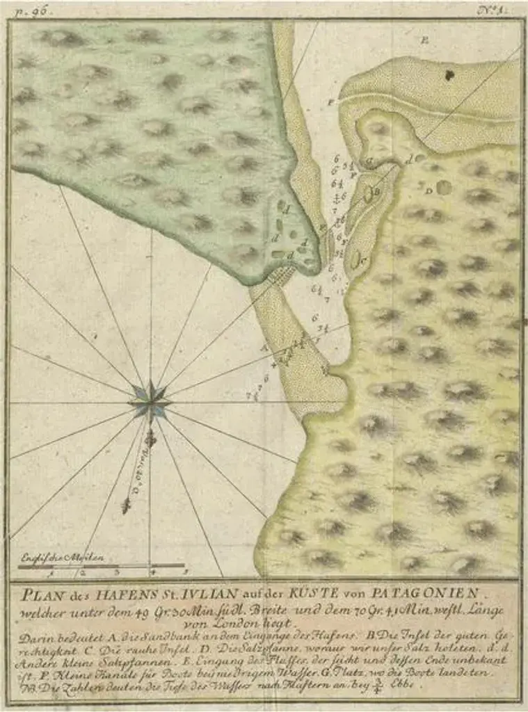
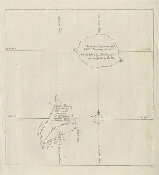
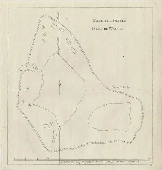
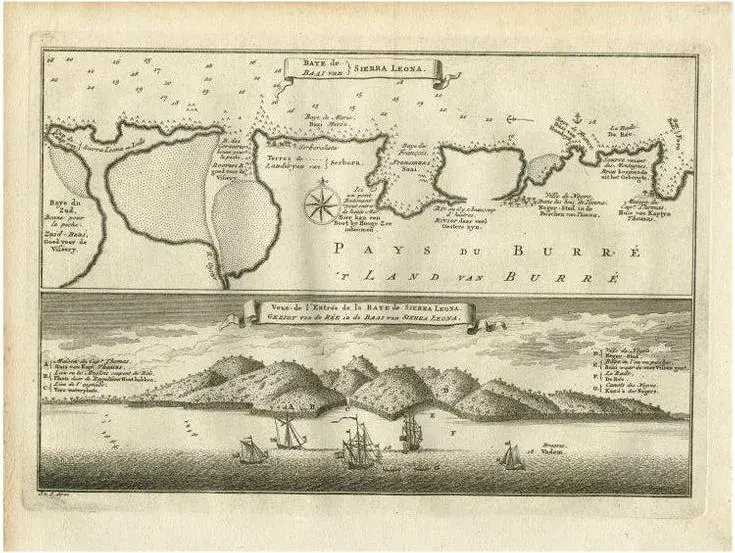
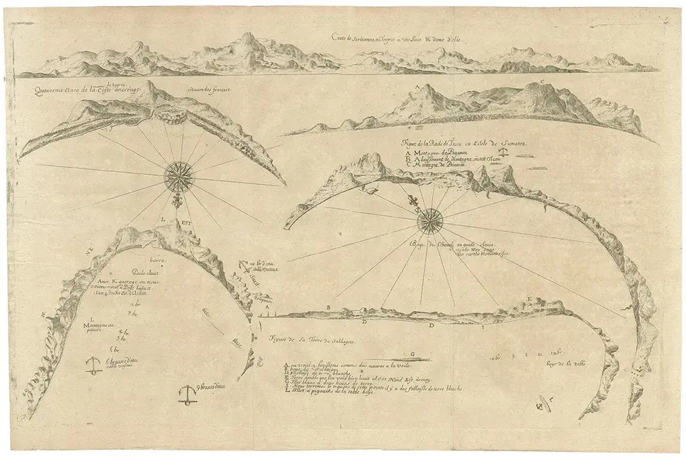
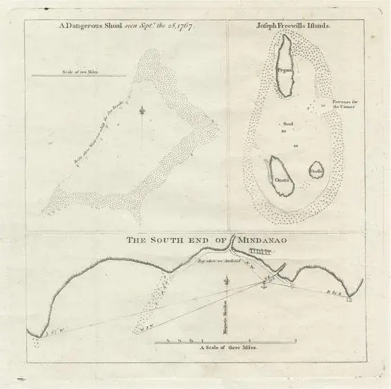
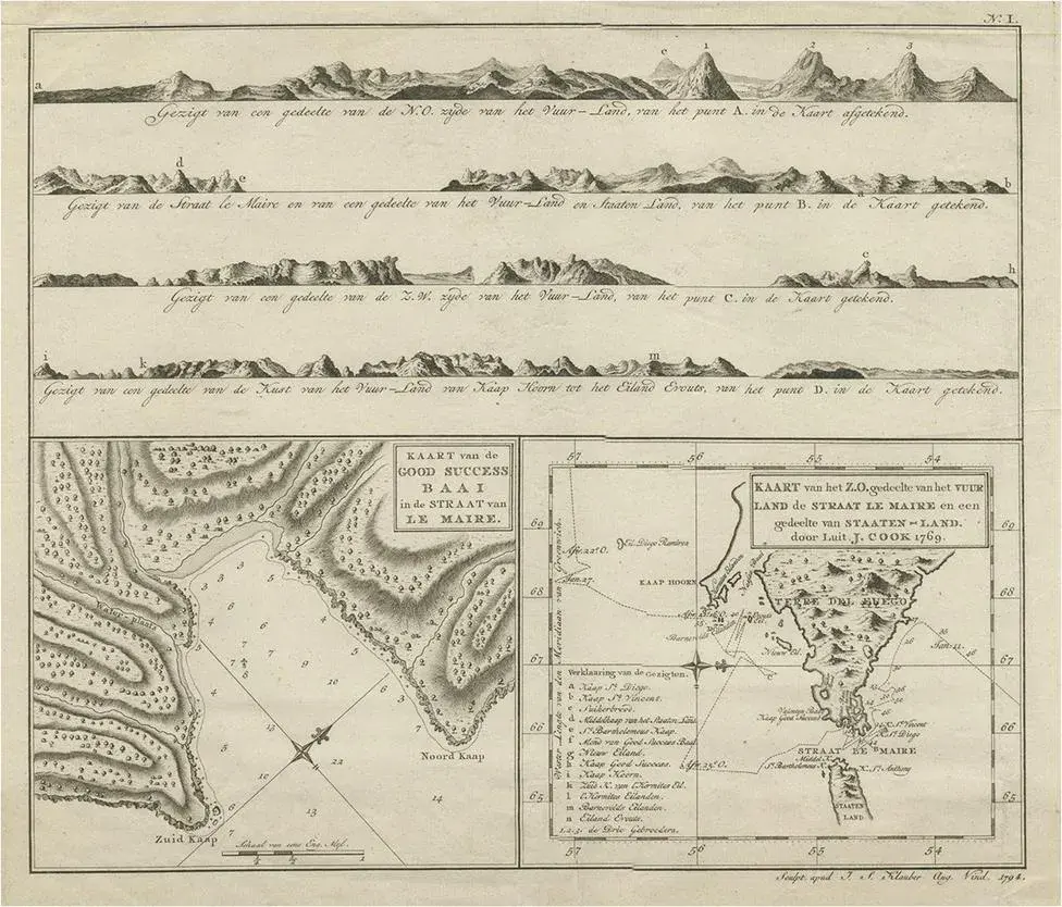
Various maps and views on one plate titled 'Praya Bay (\.)', 'The Cape Verd Islands (\.)' and 'A view of Praya Bay (\.)'. Map and views of the Cape Verde islands, in the Atlantic Ocean west of Africa. Printed from two copper plates, published for Robert Sayer, London. Artists and Engravers: Jean-Baptiste-Nicolas-Denis d'Apres de Mannevillette (1707-1780) was a French hydrographer and cartographer.
RatingsNone
Similar products