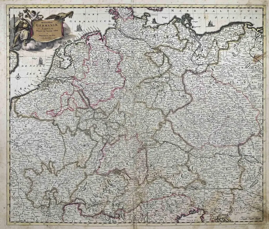
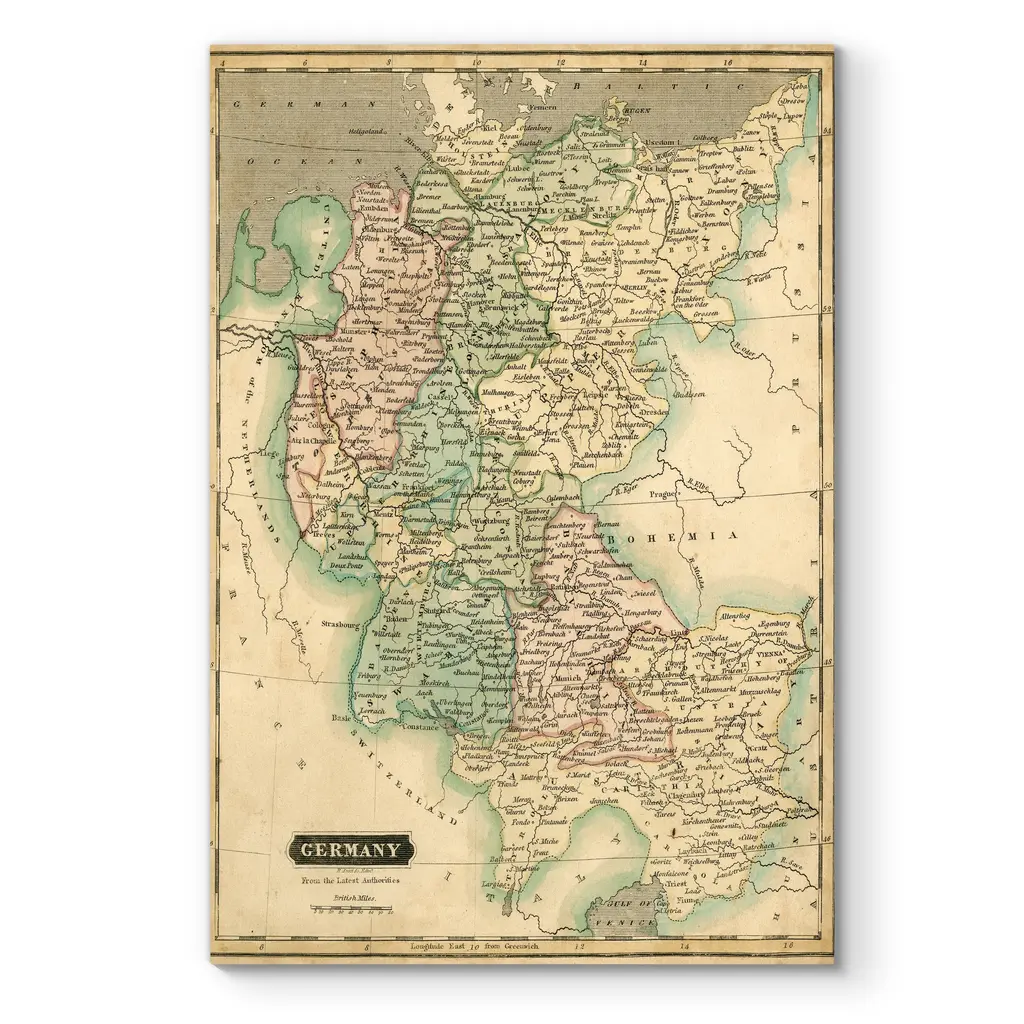
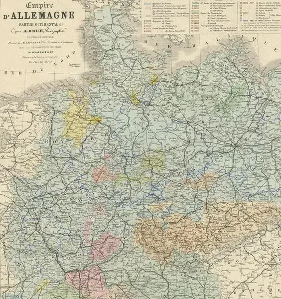
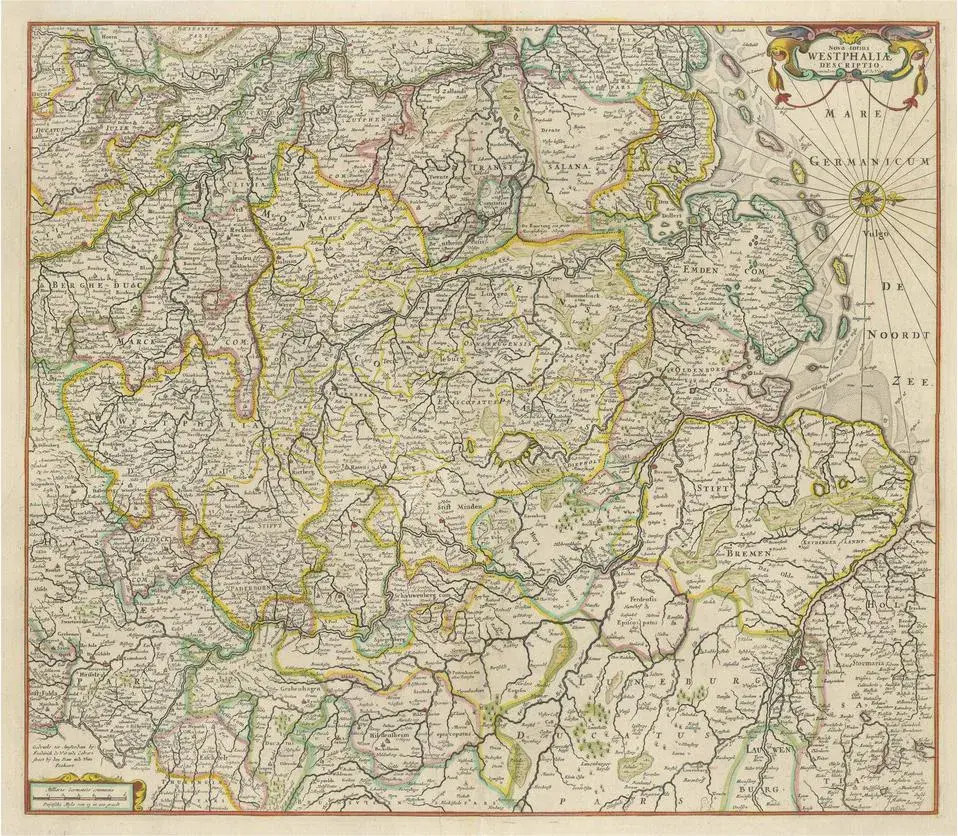
Title: Germany and Surrounding Realms by Gabriel Bodenehr, circa 1710 This striking copperplate engraving, titled "S. Imperium Romano-Germanicum, Teutschland mit Seinen Angräntzenden Königreich und Provineien," was created and published around 1710 by Gabriel Bodenehr in Augsburg. A master of early 18th-century cartographic art, Bodenehr produced a series of finely detailed maps that depicted the political geography of the Holy Roman Empire and its surrounding territories during a time of complex alliances and shifting borders. This map offers a comprehensive view of Central Europe under the dominion of the Holy Roman Empire. It stretches from the North Sea (Noord Zee and Teutsche Meer) in the north to Venice in the south, and from Tours in France in the west to Belgrade in the east. Major cities such as Vienna, Prague, Frankfurt, Cologne, Paris, Amsterdam, and Kraków are featured prominently, alongside numerous duchies, bishoprics, free cities, and principalities that made up the decentralized fabric of the empire. Borders are finely etched, with careful placement of rivers, towns, and regional names. What distinguishes this map is its balance between artistic charm and geopolitical accuracy. Bodenehr’s skill in copper engraving shines through in the clean linework and dense yet legible layout. The use of the German language throughout the title and place names adds to the historical authenticity, providing insights into how early 18th-century German-speaking cartographers viewed their realm and its neighbors. Maps like this were not only functional geographic tools but also symbols of power and identity, often displayed in scholarly, noble, or civic settings. Today, it offers collectors a glimpse into pre-Enlightenment Europe and the fragmented but culturally rich landscape of the Holy Roman Empire. Condition Report: Excellent condition for a map over 300 years old. Crisp copperplate impression with no visible flaws. Paper clean, with only minimal age toning at the margins. No tears, repairs, or foxing. A well-preserved, highly desirable piece. Framing Tips: Use a light cream mat with a narrow green or silver accent line to complement the engraving’s antique elegance. Pair with a dark wood or black frame for contrast. Museum glass is recommended to preserve the detail and prevent glare.
Similar products