North Holland, Netherlands: A Large 17th C. Hand-Colored Map By Sanson & Jaillot, 1692
Chairish$2,175
North Holland, Netherlands: A Large 17th C. Hand-Colored Map By Sanson & Jaillot, 1692
Chairish$2,175
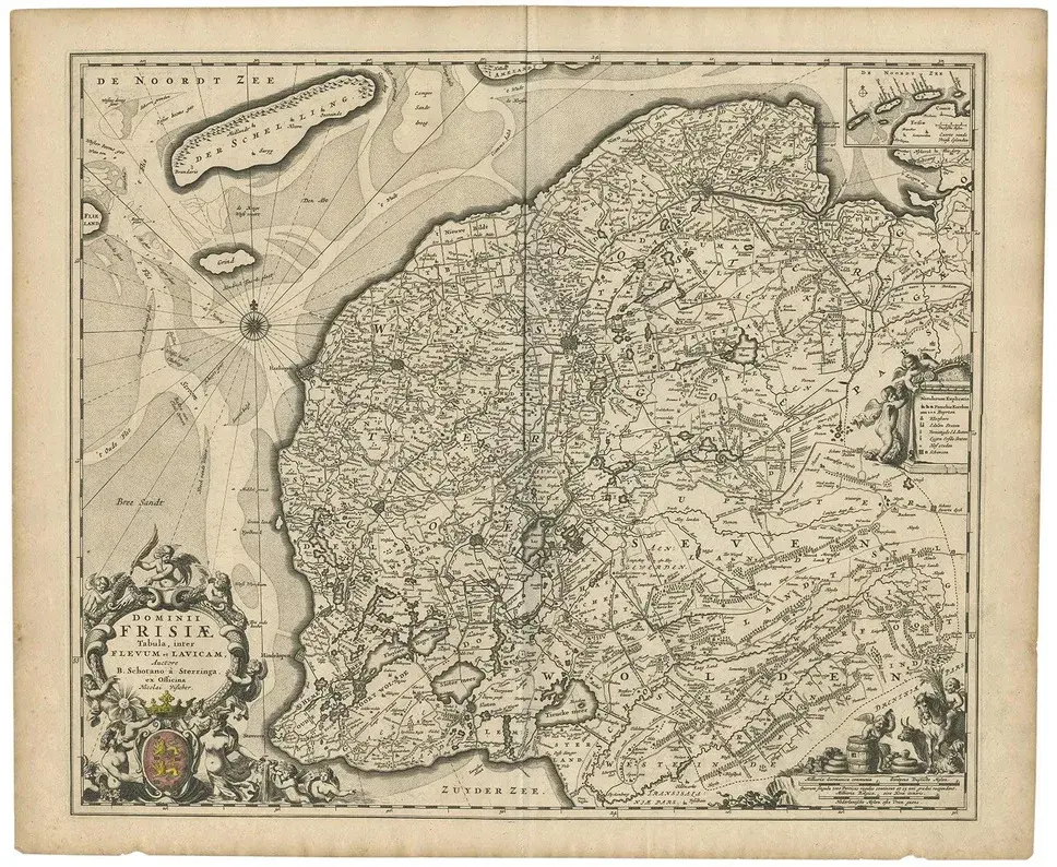
This large hand-colored map entitled "Le Comte De Hollande Dressee sur les Memoires les plus Nouveaux" was originally created by Nicholas Sanson d'Abbeville. This version was published by Hubert Jaillot in "Atlas Nouveau" in Paris in 1692. It depicts the North Holland province of the Netherlands, including the North Sea, Amsterdam, Rotterdam, Delft, Utrecht, Haarlem, as well as many other landmarks. An ornate title cartouche in the left upper corner consists of 2 putti holding a royal crest and two mythical half men, half animal figures. The map also includes a separate page from the original atlas which includes an alphabetical table of cities and villages within Holland. It is very rare for these additional pages to be included with one of these maps. The map consists of two sheets joined as one along a horizontal joint. The map has original hand-coloring. It is printed on antique hand-made laid, chain-linked paper with wide margins. The sheet measures 38" high and 24.88" wide. There is a central horizontal joint, as issued. There is mild color offset from the opposite side of the map resulting from having been folded in the atlas for hundreds of years. There is minimal discoloration in the margins, but the map is otherwise in very good condition.
Similar products