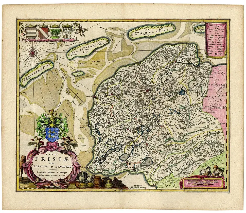
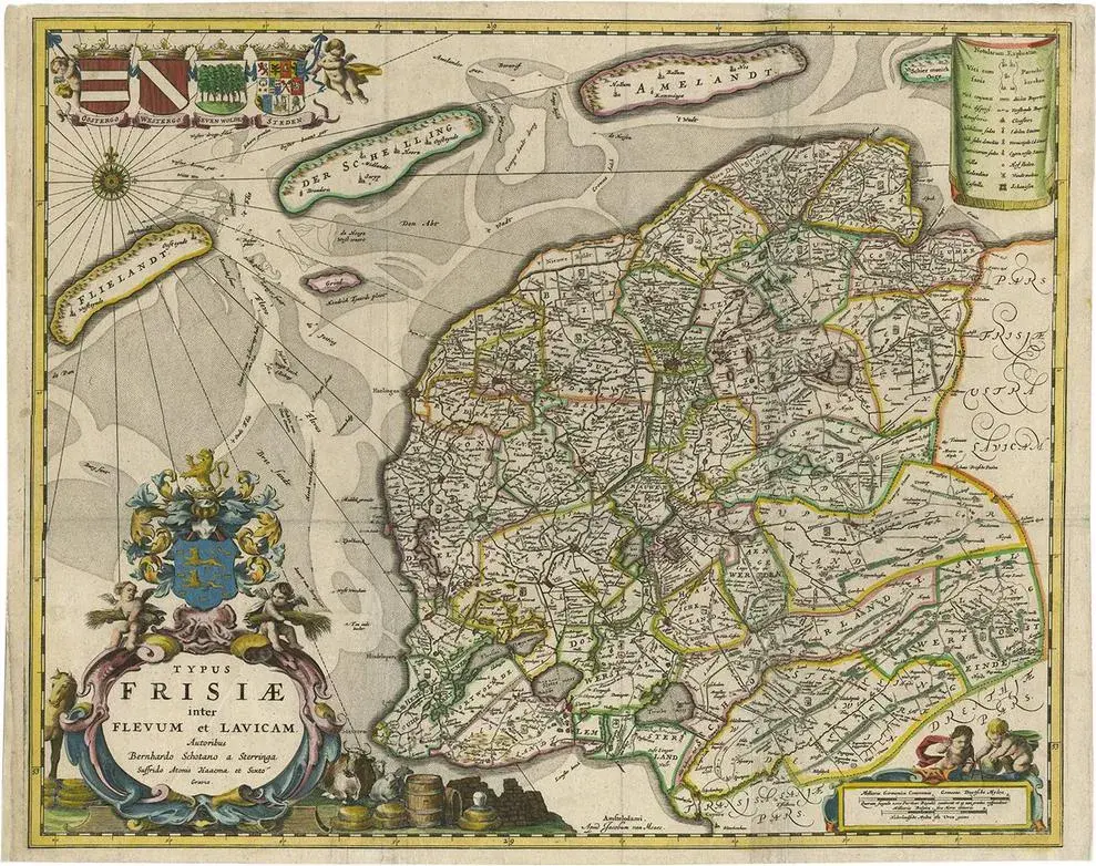
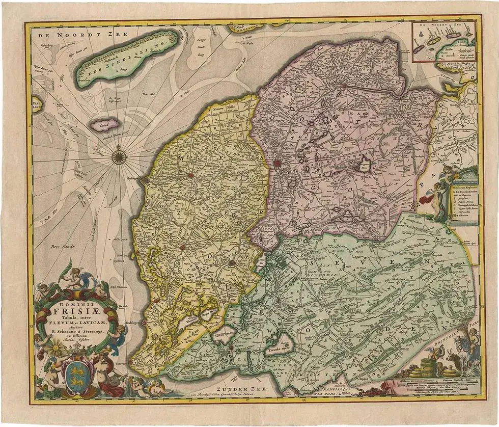
Antique map titled 'Dominii Frisiae Tabula, inter Flevum et Lavicam'. Beautiful first state map of Friesland, the Netherlands. with small inset map of the Frisian Wadden islands Vlieland, Terschelling, Ameland and Schiermonnikoog. Artists and Engravers: Cartographer: Bernardus Schotanus a Sterringa (1640-1704). Artist: Cartographer: Bernardus Schotanus a Sterringa (1640-1704). Condition: Very good, general age-related toning. Please study image carefully. Date: c.1665 Overall size: 63 x 53 cm. Image size: 56 x 47 cm.
RatingsNone
Similar products