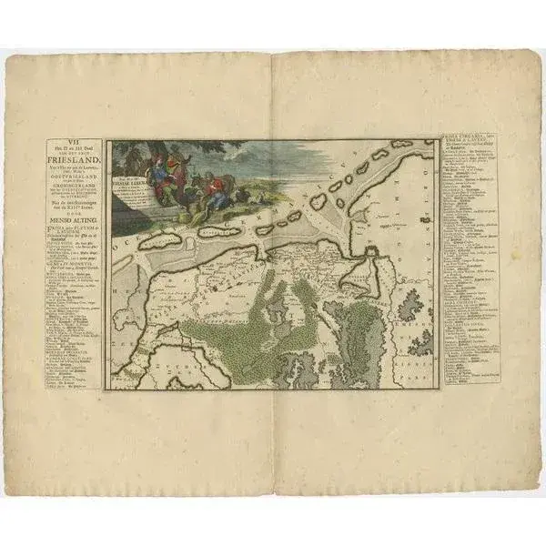
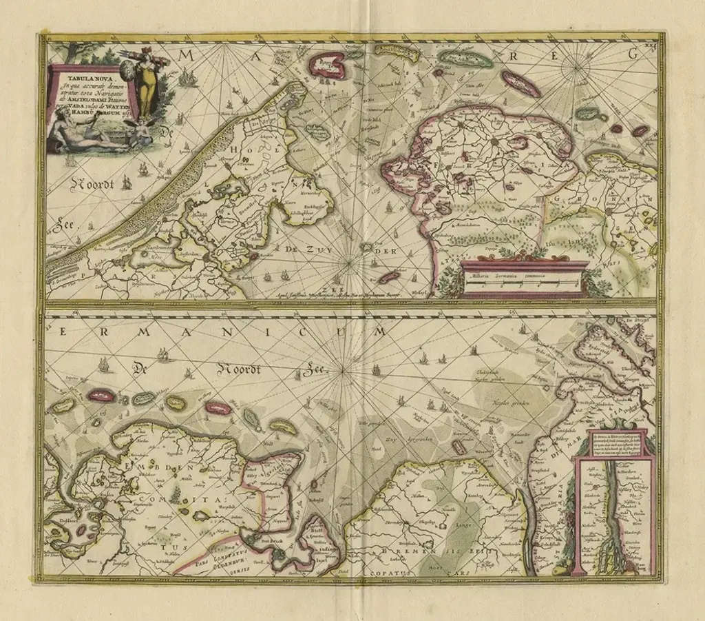
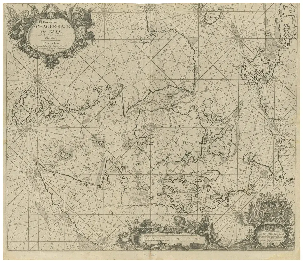
Antique map titled 'Paskaarte van de rievier de Elve streckende van Oldenbroek tot Hamburgh.' Rare and interesting chart of the East Frisian Islands (or Watten) and the North Sea. Above the Elbe river from Oldenbroek to Hamburg. Beautiful large cartouche with scale below. Also another cartouche with key and a compass rose. Source unknown, to be determined. Artists and Engravers: Johannes van Keulen (1654, Deventer - 1715, Amsterdam) was a 17th-century Dutch cartographer. Condition: Very good, given age. Original middle fold as issued. General age-related toning and /or occasional minor defects from handling. Please study image carefully.
RatingsNone
Similar products