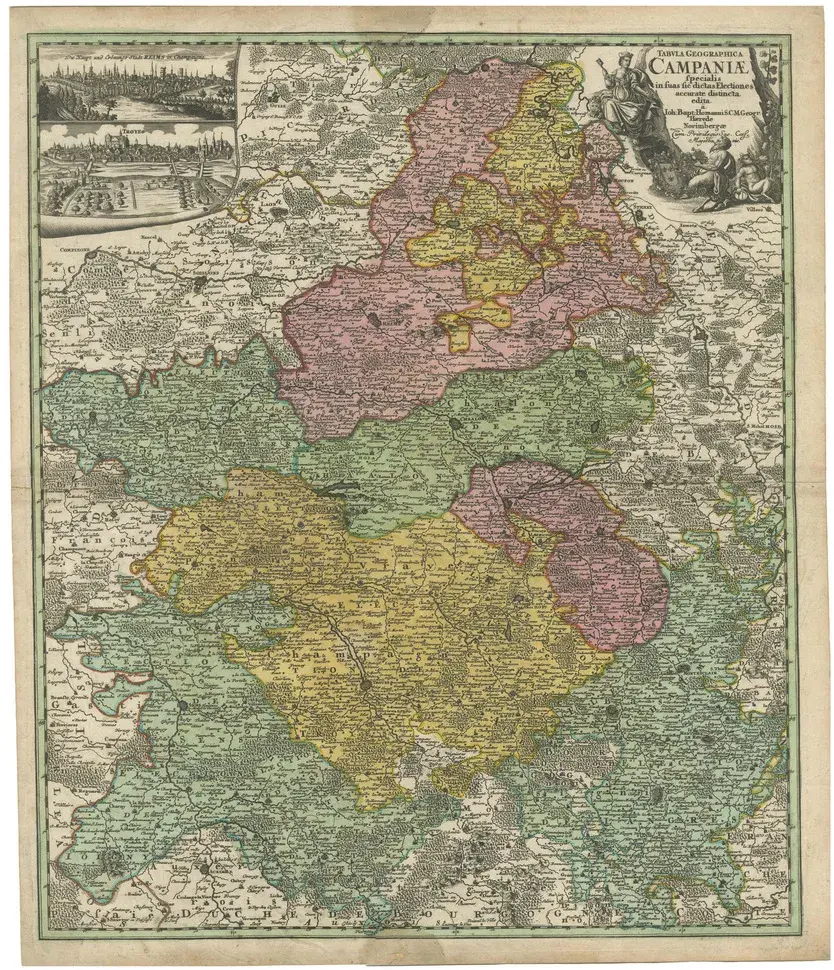
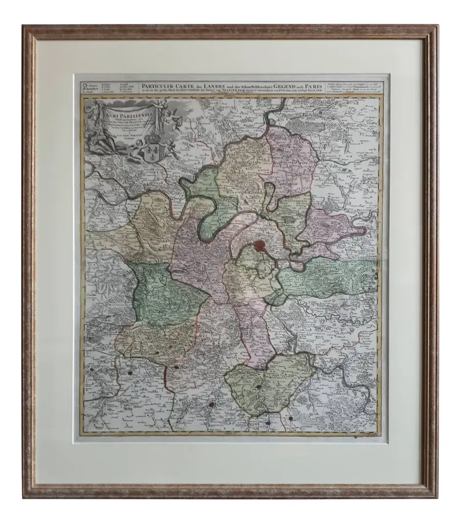
This map, titled “Agri Parisiensis Tabula particularis,” was created and published by the German cartographer Johann Baptist Homann (1664–1724), or his workshop, in Nuremberg. Homann served as Imperial Geographer to the Holy Roman Emperor, and his firm was among the most prominent European map publishers of the early 18th century. This particular map focuses on the region around Paris, illustrating the territorial divisions and major localities of the Île-de-France and surrounding areas. Dating likely falls in the early 18th century, around 1710–1720. The style—characterized by finely engraved details, hand-colored borders outlining various jurisdictions, and a decorative cartouche—matches Homann’s known production methods. After Homann’s death in 1724, his heirs continued the business, reissuing and revising many of his maps, so later 18th-century versions under the “Homann Heirs” imprint are also possible. This map is interesting for several reasons. First, it provides a detailed glimpse into the historical geography of the Île-de-France region around Paris during the early 18th century, a time when territorial divisions and local borders were often quite different from those of today. Its finely engraved details and hand-colored outlines highlight the various administrative boundaries, roads, and settlements, allowing viewers to see how the landscape, infrastructure, and political divisions shaped the area’s identity. Additionally, the cartouche and other decorative elements reflect the artistic and cultural aesthetics of the period, offering insight into contemporary mapmaking techniques and stylistic preferences. In sum, it is both a valuable historical record and an attractive example of the craftsmanship and artistry that defined European cartography in the early 1700s.
Similar products