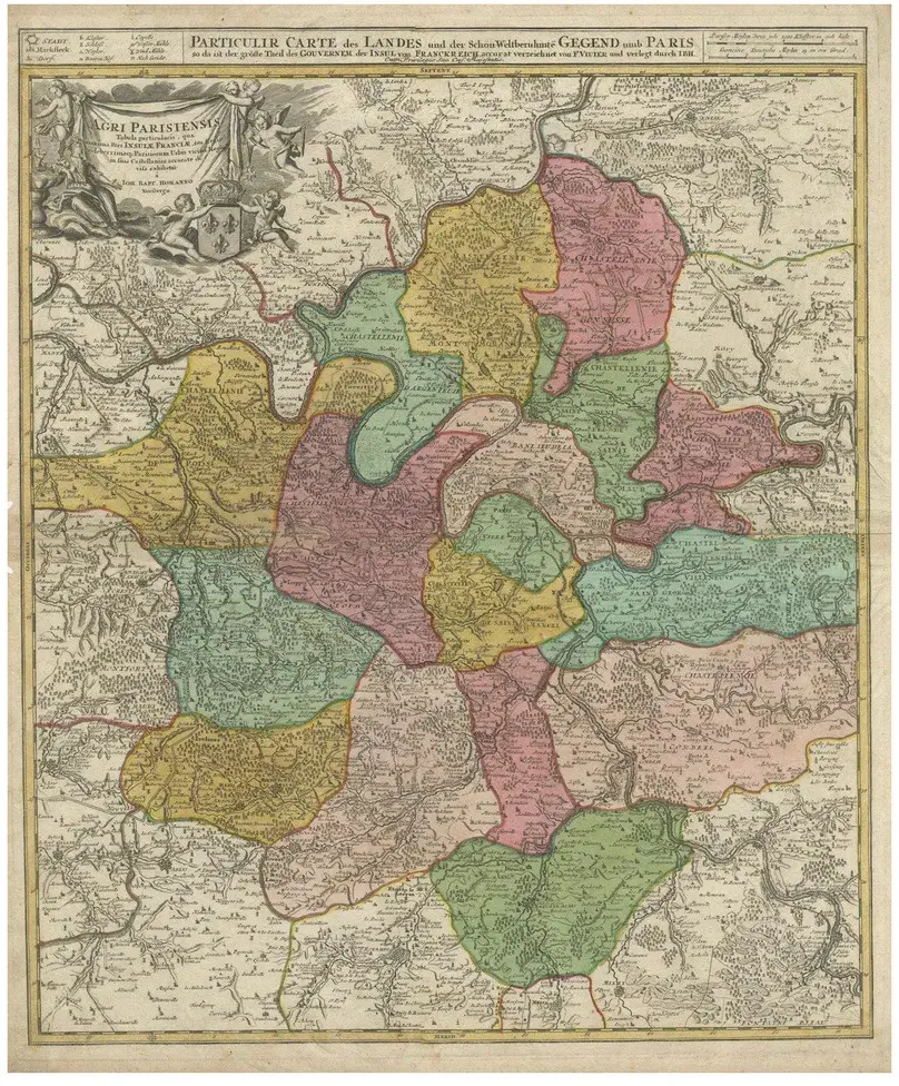
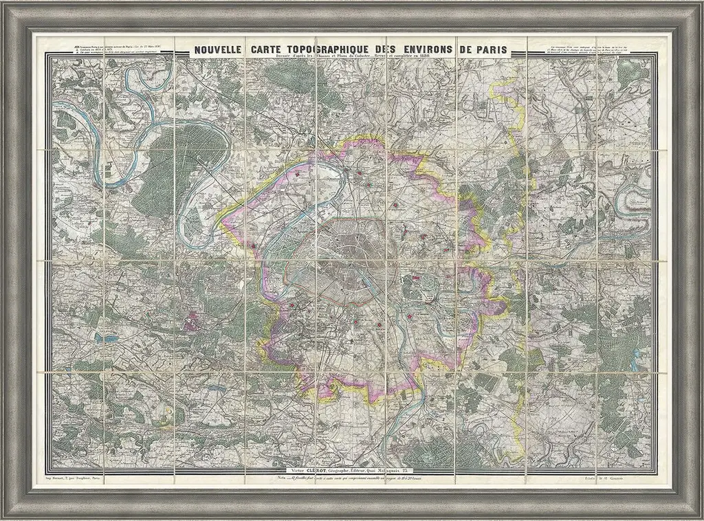
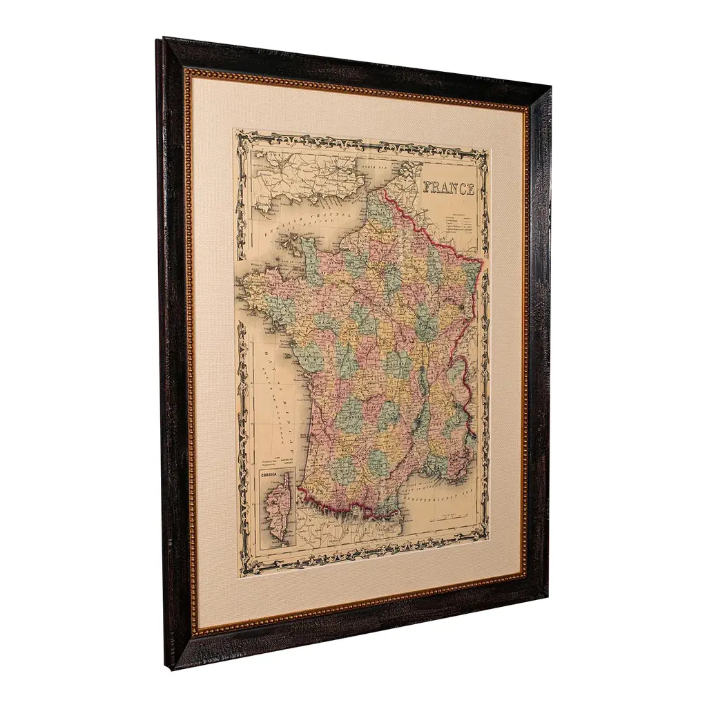
Antique map titled 'Agri Parisiensis Tabula particularis, qua maxima Pars Insulae Franciae (\.)'. Incredibly detailed map showing everything from tiny villages to forests, farmland, walled cities and more. Centered on Paris, the map extends to show these cities at the extremities - Ablis, Messe, Herissy, Senlies, and Mante. Details in Paris includes its fortifications and the gardens at Vincennes. Beautiful cartouche with several putti.
RatingsNone
Similar products