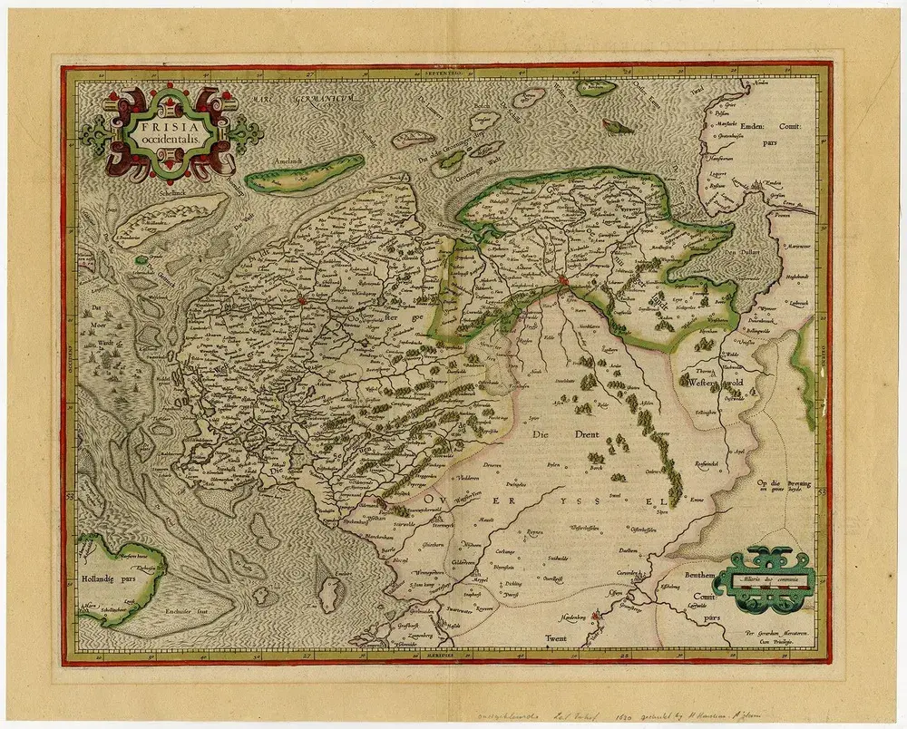
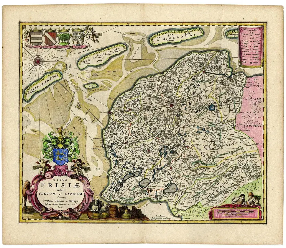
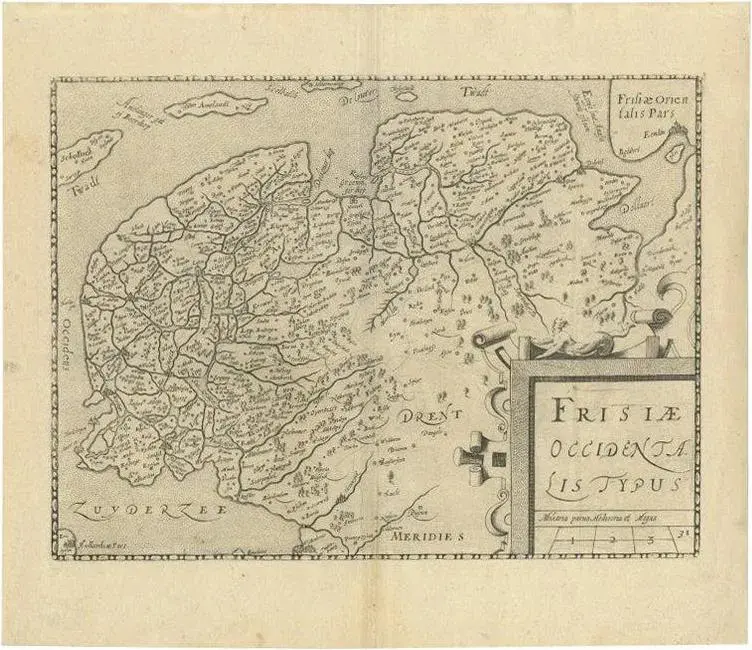
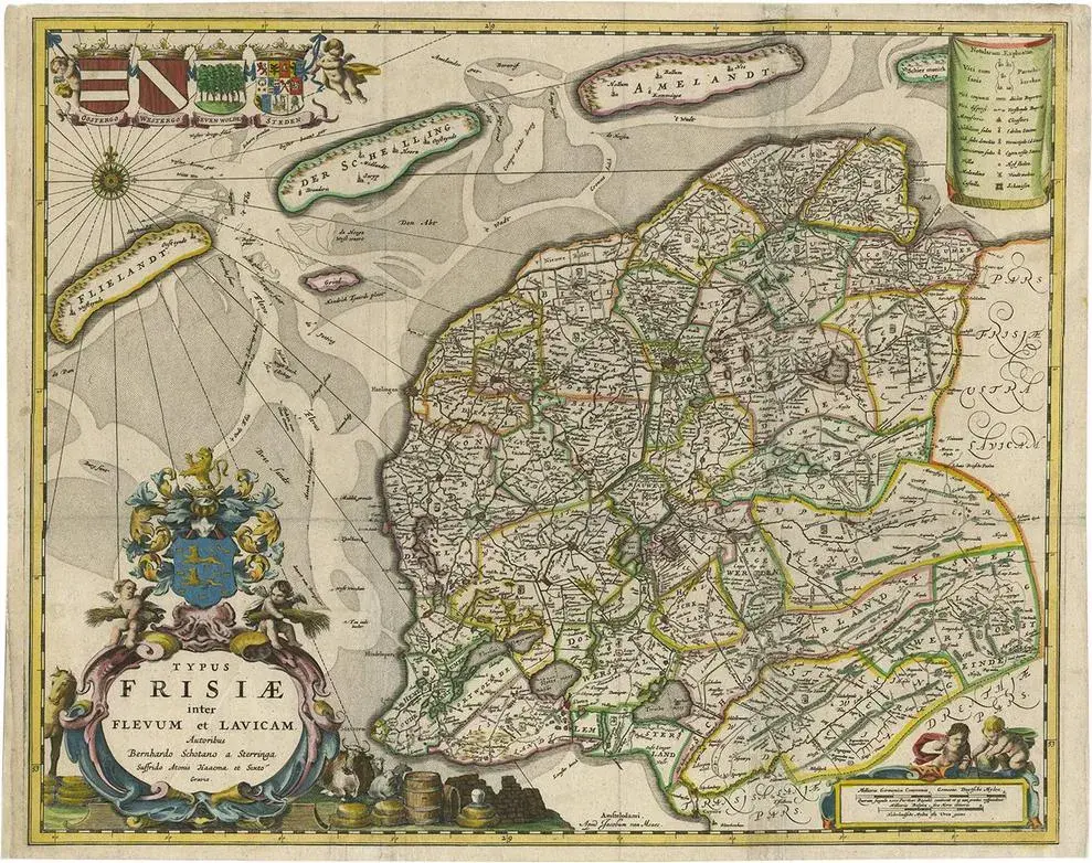
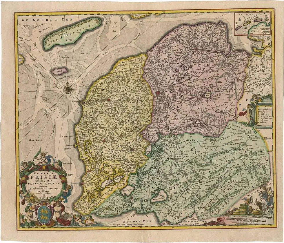
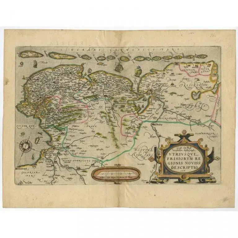
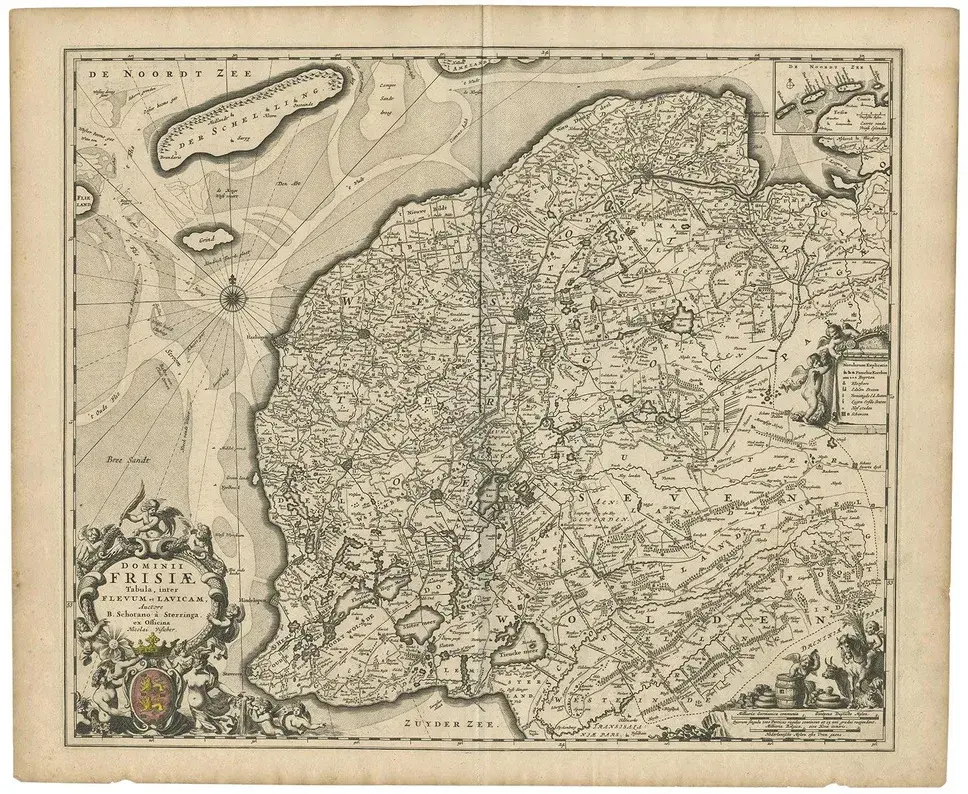
Antique map titled 'frisia occidentalis.' - a very decorative map of the dutch province friesland, also showing the wadden islands terschelling and ameland. With coats of arms of the municipalities of the area in the borders. A coat of arms in the lower right corner and a title cartouche in the lower left corner. A legend in the top right and a compass rose in the top left corner. From: "chronique ofte historische geschiedenisse van vrieslant” by p. Winsemius, published 1622. Artists and engravers: made by 'engraver: petro harlingensis. Publisher: joannes lamrinck.' after 'cartographer: adrianus metius & gerard freitag.'. Cartographer: bernardus schotanus a sterringa (1640-1704).
RatingsNone
Similar products