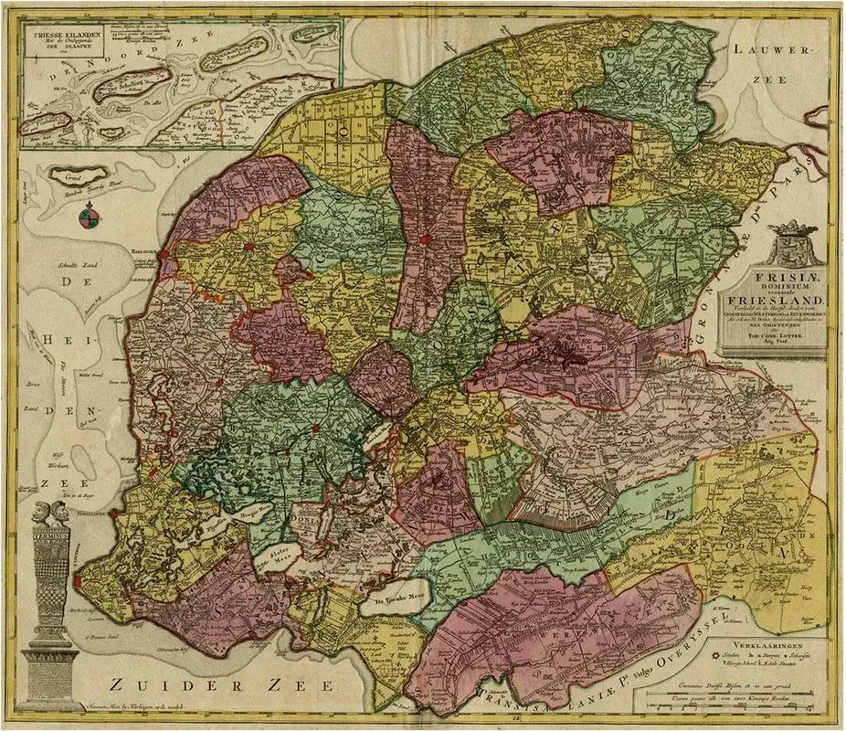
Antique Map Of Friesland And Terschelling With Inset Isles Attributed To Visscher Ii, 1670
Chairish$944
Antique Map Of Friesland And Terschelling With Inset Isles Attributed To Visscher Ii, 1670
Chairish$944
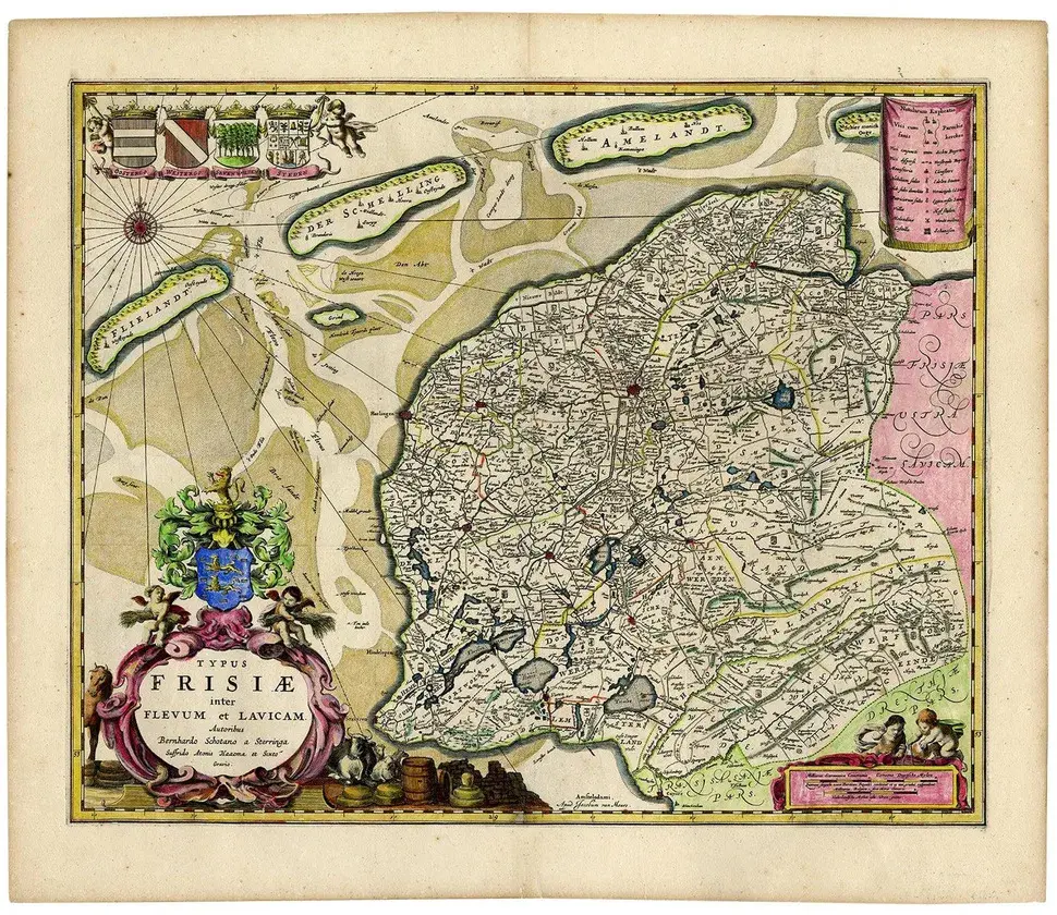
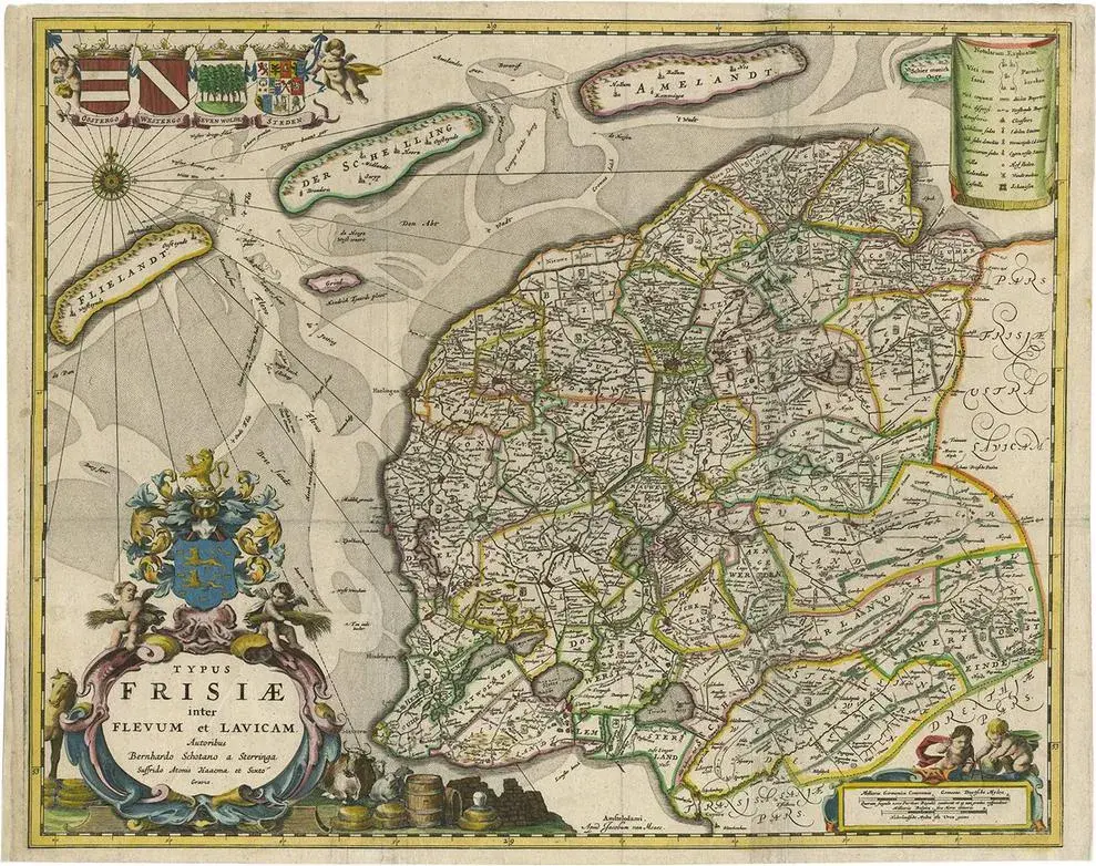
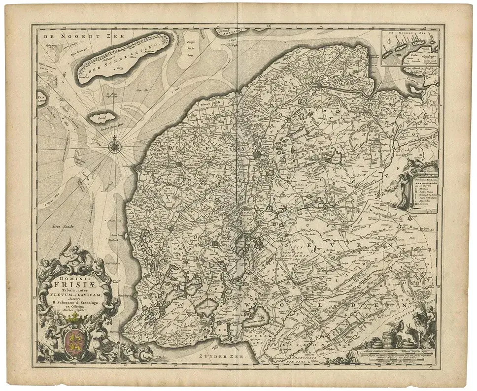
Antique map: friesland and terschelling with inset isles, by nicolaas visscher ii, 1670 this large copper-engraved map provides a detailed and visually stunning depiction of the coastline of friesland and the island of terschelling, along with portions of groningen to the east. Originating from nicolaas visscher ii’s *germania inferiorsive xvii provinciarum geographicae generalis* (kaert-boeck van de xvii nederlandtsche provincien), this map was published in amsterdam circa 1670. The map highlights the main cities of friesland, beautifully accented in red, and includes a decorative inset in the lower-right corner, illustrating the smaller isles belonging to the province. The finely engraved details make this map a remarkable artifact of 17th-century cartography, with its coastline features rendered with precision and artistic flair. Adding to its charm, the map is adorned with elaborate decorative cartouches featuring putti (cherubs) and a coat of arms, hallmark elements of nicolaas visscher ii’s cartographic artistry. this piece is attributed to the mentioned designer/maker. It has no attribution mark and no official proof of authenticity, however it is well documented in design history. I take full responsibility for any authenticity issues arising from misattribution
Similar products