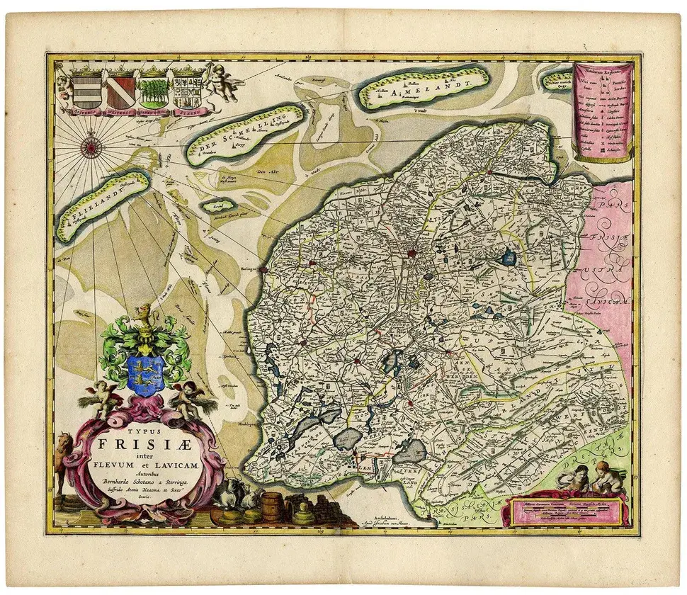
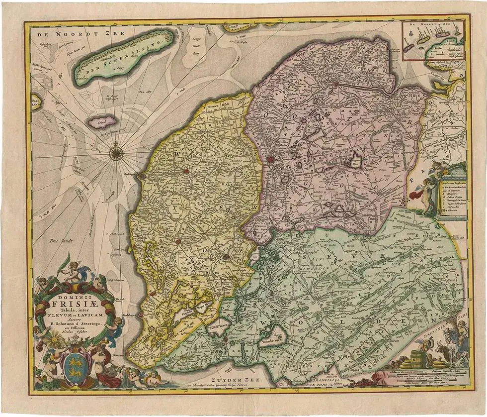
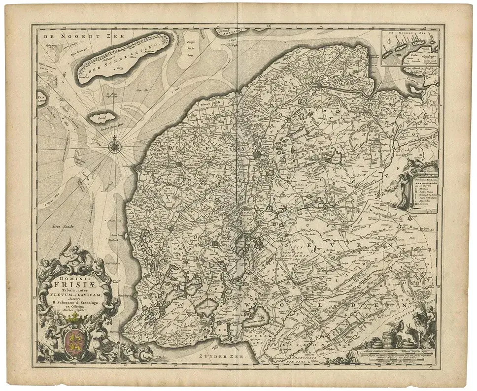
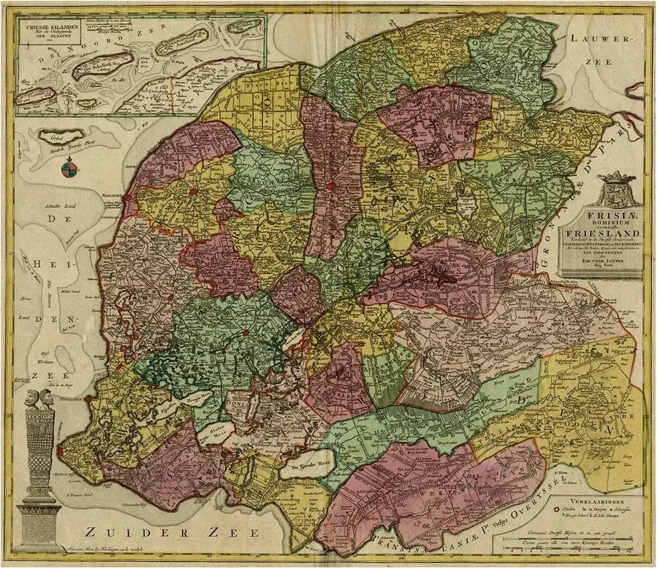
Hand-colored map of the Dutch province Friesland. Also shows the Wadden islands Vlieland, Terschelling and Ameland and a part of Schiermonnikoog. with a decorative cartouche with two putti, livestock and cheese and milk barrels. Four coats of arms in the top left corner. This map originates from 'Beschrijvinge van de Heerlyckheydt van Frieslandt.', by Schotanus a Sterringa, published in Amsterdam: Jacob van Meurs, 1664. This piece is attributed to the mentioned designer/maker. It has no attribution mark and no official proof of authenticity, however it is well documented in design history. I take full responsibility for any authenticity issues arising from misattribution
RatingsNone
Similar products