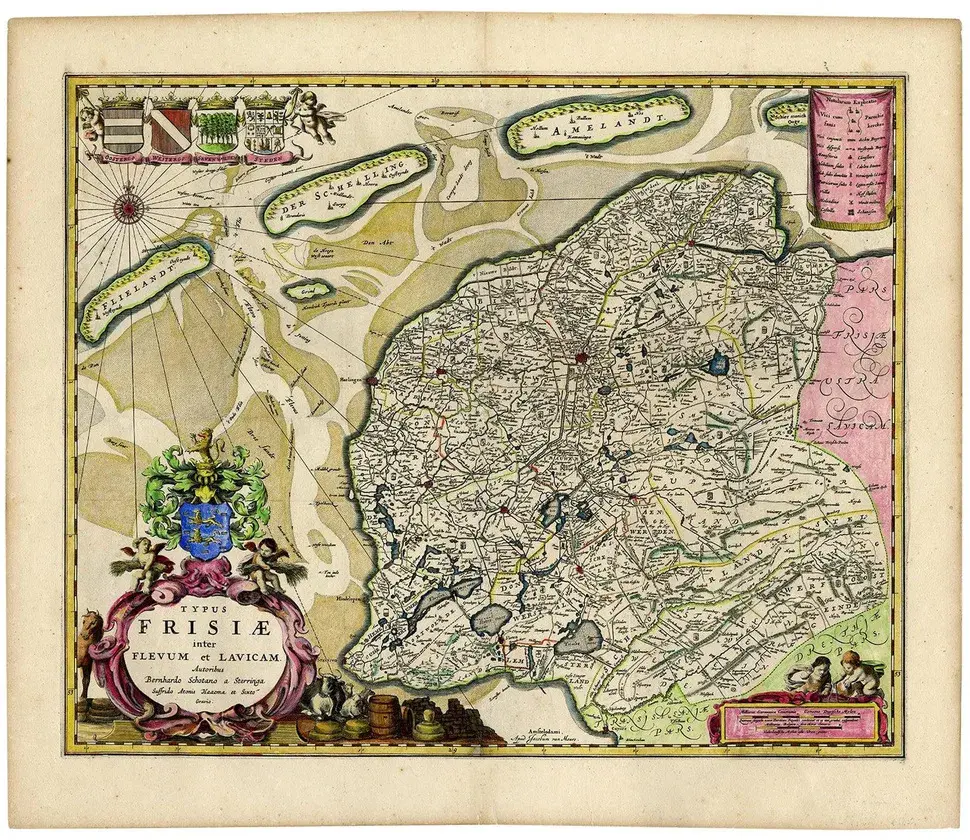
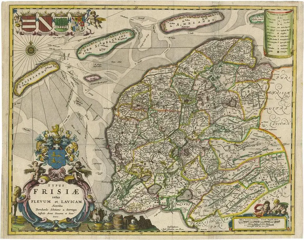
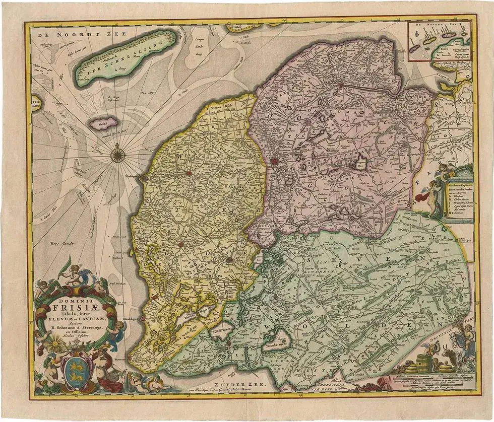
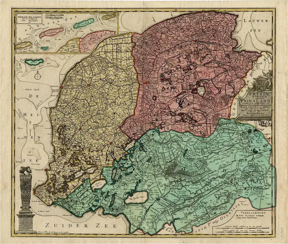
Antique map titled 'Frisiae Dominium vernacule Friesland, verdeeld in de Hoofd-deelen van Oostergoo, Westergoo en Sevenwolden, Als ook der XI Steden Zynde noch onderscheiden in XXX Grietenijen.' A map of the Dutch province Friesland as divided in the three main parts (Oostergo, Westergo and Zevenwolden), as well as in 30 Grietenijen. An inset map in the top edge shows the four Wadden Islands belonging to Friesland: Vlieland, Terschelling, Ameland and Schiermonnikoog. Published by Tobias Conrad Lotter, circa 1760.
RatingsNone
Similar products